
Discover the Chaparral Trail at Pinnacles National Park
Nestled in the heart of Monterey County, California, Pinnacles National Park is an outdoor enthusiast’s paradise. It’s a testament to geological wonders and biodiversity, with the Chaparral Trail being one of its crowning glories. This guide aims to illuminate every facet of this captivating hiking trail and its surrounding park, promising an unforgettable adventure.
Get more Pinnacles National Park News here!
Location and Accessibility
Pinnacles National Park is situated east of the Salinas Valley, around 130 miles southeast of San Francisco. The nearest airport is San Jose International Airport, approximately 90 miles northwest of the park.
To reach Chaparral Trail, you’ll need to enter from the west side of the park, as the park’s roads do not connect through. From Highway 101, take the exit for Highway 146 in Soledad, and then follow the signs to Pinnacles National Park.
When to Visit Chaparral Trail
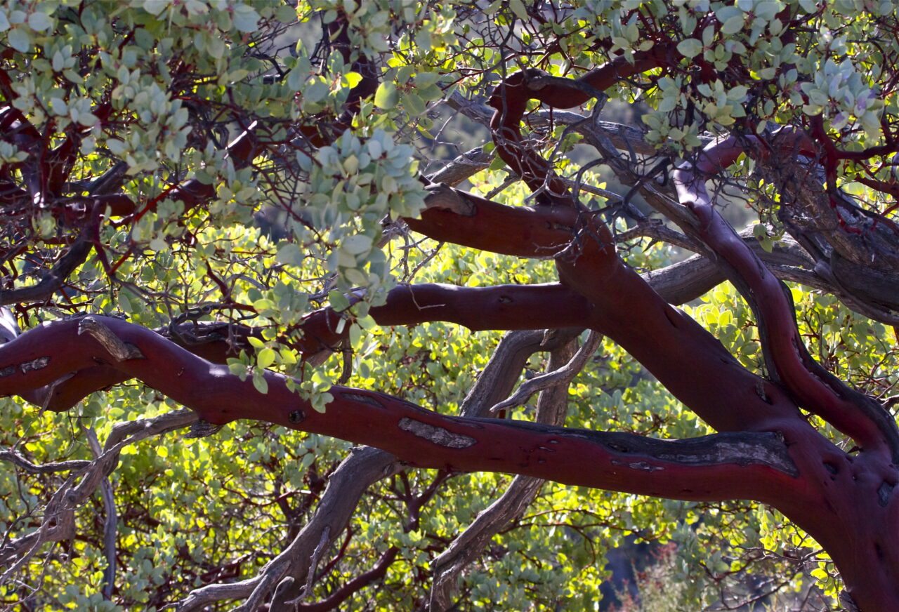
The best time to explore the Chaparral Trail is from March to May, when the park’s unique flora is in bloom and temperatures are moderate. Fall also offers pleasant hiking conditions. Summer can be quite hot, reaching highs of over 100 degrees Fahrenheit, and winter can bring chilly conditions, making spring and fall the ideal times to visit.
Attractions and Activities
The Pinnacles
These towering rock formations are the park’s namesake and a sight to behold. Formed by millions of years of volcanic activity and erosion, these spires provide an imposing backdrop to your hike.
Wildlife Viewing
Pinnacles National Park is home to a variety of wildlife, including the California condor, the largest flying bird in North America. The park serves as a release site for these endangered birds, making it an excellent spot for bird-watchers.
Chaparral Trail Details
The Chaparral Trail is a moderately strenuous out-and-back hike, covering a distance of 8.4 miles round trip. It features an elevation gain of 1500 feet and offers stunning views of the park’s rocky pinnacles and talus caves.
While the trail is open year-round, a free permit is required for the Balconies Cave section. This can be obtained at the park’s visitor center.
Starting Point: Chaparral Ranger Station
From here, the trail ascends, passing through rolling chaparral hills and taking you towards the towering Pinnacles.
Highlights: Talus Caves
The trail includes the Balconies Cave and the Cliffs, offering a unique caving experience. Remember to bring a headlamp or flashlight, as the caves are naturally dark and can be damp.
Camping and Lodging
For those who wish to extend their stay, Pinnacles Campground on the east side of the park provides tent and RV sites. There’s also a limited number of group and family sites available.
For a more comfortable stay, lodging options can be found in the nearby towns of Soledad and Hollister, ranging from budget-friendly motels to more upscale accommodations.
Practical Tips and Safety Considerations
While hiking Chaparral Trail:
- Always carry enough water, as temperatures can soar, and there are no water sources along the trail.
- Check the weather forecast before heading out, especially if planning to explore the caves, as they are closed during heavy rains due to flash flood risks.
- Wear sturdy shoes, as the trail can be rocky, and the caves may have slippery surfaces.
Chaparral Trail Top Photo Spots
For those keen on capturing the beauty of Pinnacles National Park, the High Peaks area accessed via the Chaparral Trail offers breathtaking panoramic views, especially at sunrise or sunset. The Balconies Cliffs also provide unique photo opportunities with their rugged, dramatic formations.
In conclusion, the Chaparral Trail at Pinnacles National Park offers an unparalleled hiking experience, combing scenic landscapes, unique geological formations, and diverse wildlife. It’s an adventure that will leave you with lasting memories and a newfound appreciation for nature’s wonders.
Follow us on Facebook for more up-to-date National Park content!